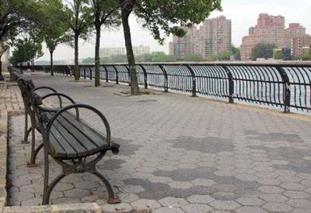
City Revisits Plan for East River Waterfront

By Megan Bungeroth East Siders have been yearning for sparkling new waterfronts and better access to their natural resources for years, and the Department of City Planning is finally heeding those calls with major revisions to the Waterfront Revitalization Program (WRP). The last time the city addressed the master plan for waterfront revitalization was in 2002, and the new additions and changes reflect the priorities for the waterfronts laid out in the city's Vision 2020, which specifies a 10-year plan to improve all city waterfronts. Last week, Michael Morella, the director of waterfront and open space planning at DCP, presented the revisions to Community Board 6's Land Use committee, explaining what the city's priorities will be and how the public can get involved and give input to the final plans. The affected community boards have until June 4 to respond with comments, and the borough board and borough president have until July 31, before the plan goes through City Planning Commission hearings and a vote, a City Council review, and finally a review by the New York State Department of State and the U.S. Department of Commerce. "All important aspects of the city need good planning, and I think we accomplished that with Vision 2020, and a component of that is also having good regulations," Morella said. He explained that the WRP is a set of regulations that apply to certain project located with the coastal zones of the city. On the East Side, that encompasses any construction site from the East River to First Avenue that qualifies for public review. "Projects that are as-of-right, if a developer or a building owner were to be proposing a project that would go to the buildings department and obtain a permit, the WRP is not required; it's only for discretionary actions," Morella said. The revisions addresses 10 policy areas within the WRP, applying updated scientific understanding to the city's previous policies that emerged when the city was devising Vision 2020. "After nine public meetings, an advisory board made of a city, state and federal agencies and a working group of multiple city agencies, we've come away with a far more nuanced understanding of the waterfront, and we're proposing a far more robust program as a result," Morella said. One of the areas that will especially affect the East Side is the designation of Priority Marine Activity Zones, which will become sites for shoreline infrastructure like piers for ferry landings, as well as the creation and maintenance of sites for human-powered vessels like rowboats and kayaks. Another policy area addressed in the WRP is flooding and erosion, an increasingly important issue for the East Side considering the cumulative effects of climate change and the fact that many parts of the neighborhood are in flood zones. The new revisions will require projects to take coastal flooding and climate change projections into their construction plans. It will also strongly encourage developers to utilize strategies against flooding, like waterproofing lower floors, and for parks along the coast lines to use salt-water-tolerant plantings. "This is where the most important and longest lasting changes are," Morella said. "There are a set of projections, and there's quite a range, but by 2080 there may be upwards of 55 inches of sea level rise that the city may face." The plan also emphasizes the need for public access, scenic resources and the preservation of historic resources andspaces for historic vessels to tie up. The WRP prioritizes waterfront open space for "sites within a waterfront area with less than 2.5 acres of open space per 1000 residents [?] or where there is a gap in public access along the shoreline of 0.25 miles or more," which will give the Upper East Side special consideration for developing that access. The full revision plan is available at nyc.gov/wrp.